|
|
You are here: Walking Wiki>Walks Web>LocPage268 (09 Jun 2009, JaneCurry)Edit wiki textEdit Attach
Sign above Blatten on Lotschental Hohenweg
Height: 2028 Lat/Long data and/or map will go here when we have implemented it. There are several paths back down to the valley floor from the Lötschental Höhenweg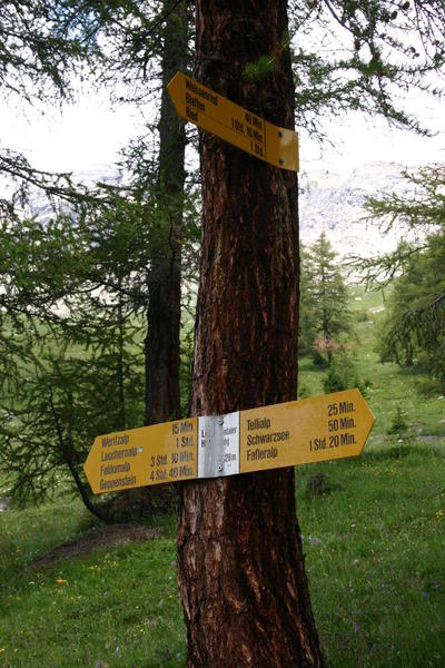
- Weissenried 40 mins
- Blatten 1 hr 10 mins
- Ried 1 hr
The sign down to Blatten:

Edit | Attach | Print version | History: r2 < r1 | Backlinks | View wiki text | Edit wiki text | More topic actions
Topic revision: r1 - 09 Jun 2009, JaneCurry


- Toolbox
-
 Create New Topic
-
 Index
Index
-
 Search
-
 Changes
-
 Notifications
-
 RSS Feed
-
 Statistics
-
 Preferences
Ideas, requests, problems regarding Walking Wiki? Send feedback